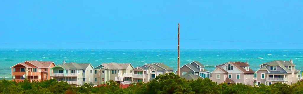
Hatteras Island, the long, slender barrier island at the heart of North Carolina’s Outer Banks, stretches for approximately 50 miles along NC Highway 12, from Oregon Inlet to Hatteras Inlet. It’s a place that doesn’t strive to impress; instead, it offers an unending expanse of dunes, beaches, and sound, inviting visitors to shed the distractions of daily life. Seven unincorporated villages dot the island, each contributing to an atmosphere of wild beaches, world-class wind, and a tranquility that can make a week feel like a month.
While our Cape Hatteras guide details the southern half of the island, from the Buxton lighthouse to the Hatteras Village ferry dock, this guide focuses on the remainder. It begins in the northern villages of Rodanthe, Waves, and Salvo, then proceeds south through Avon, known as the windsurfing capital of the East Coast. If you’re planning a trip, especially for 2027, this is the perfect starting point.
Getting There: One Road, One Bridge, No Shortcuts
Hatteras Island is accessed by driving south from Nags Head across the 2.8-mile Marc Basnight Bridge. Opened in February 2019, this bridge replaced the old Bonner Bridge (1963) and is the sole bridge crossing Oregon Inlet onto the island.
From the bridge, NC Highway 12 is the only road running the length of the island. In Rodanthe, the Jug Handle Bridge, which opened in 2022, now reroutes traffic around a section of the highway previously prone to washing out during major storms. The island primarily offers vacation rentals rather than large hotels, so booking early for 2027 is recommended.
Pea Island: Thirteen Miles of Wild Before the First Village
Immediately after crossing the bridge, you’ll encounter Pea Island National Wildlife Refuge, not a town. This 13-mile undeveloped refuge occupies the northern end of the island, featuring dunes, ponds, marsh, and over 300 bird species throughout the year.
Stop at the visitor center, located at 14500 NC Highway 12, open daily from 9 a.m. to 4 p.m. You can then explore the North Pond Wildlife Trail, a half-mile path leading to an observation tower, or the shorter Salt Flats Trail to another overlook. Both trails are free and open during daylight hours year-round.

The Tri-Villages: Rodanthe, Waves, and Salvo
South of Pea Island, three small villages, Rodanthe, Waves, and Salvo, are so closely connected that locals refer to them as the “tri-villages.”
Begin your visit in Rodanthe at the Chicamacomico Life-Saving Station. Built in 1874, it was the first life-saving station on the Outer Banks, and its surviving buildings now house a museum. The station is renowned for the 1918 rescue of the British tanker Mirlo, during which its crew saved 42 men. It is open Monday through Friday from 10 a.m. to 5 p.m. General admission is $10, with a family pass for up to five people available for $30.
Rodanthe is also home to the island’s most famous house: The Inn at Rodanthe. This cedar-shingled home, featured in the 2008 film Nights in Rodanthe, once stood precariously close to the ocean. Faced with erosion, the owners hired Expert House Movers, the same company that relocated the Cape Hatteras Lighthouse in 1999, to move the 83,000-pound house inland to Beacon Road in January 2010. It remains there today, restored to its cinematic appearance, and is available as a vacation rental.
Waves serves as the tri-villages’ kite-surfing hub, home to REAL Watersports, one of the East Coast’s premier kite schools. Salvo, the smallest of the three, offers a National Park Service day-use lot equipped with restrooms, picnic tables, and grills.
Avon: The Island’s Main Street
Situated in the middle of the island, Avon is the closest Hatteras has to a commercial center. It features the island’s grocery store, numerous gift shops, and the largest concentration of restaurants.
The village’s landmark is the Avon Fishing Pier. Opened in 1963, it was the last pier built on Hatteras Island and is now the only one still operating within Cape Hatteras National Seashore. Stretching approximately 600 feet into the Atlantic, the pier includes a tackle shop and a snack bar. A fishing license is not required to fish from the pier.

Canadian Hole and Kite Point: The Wind Capital
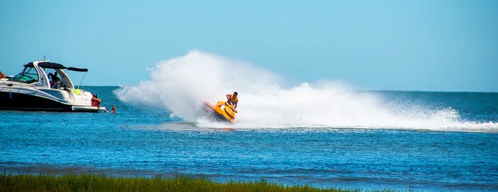
Between Avon and Buxton, on the sound side of NC Highway 12, lies the East Coast’s most renowned stretch of shallow water. Canadian Hole, also known as the Haulover Day Use Area, has attracted windsurfers since the 1970s. The sound here is expansive, shallow, and consistent, with winds typically ranging from 15 to 25 mph in spring and fall. Just to the south, Kite Point has emerged as one of the nation’s premier kiteboarding launch sites.
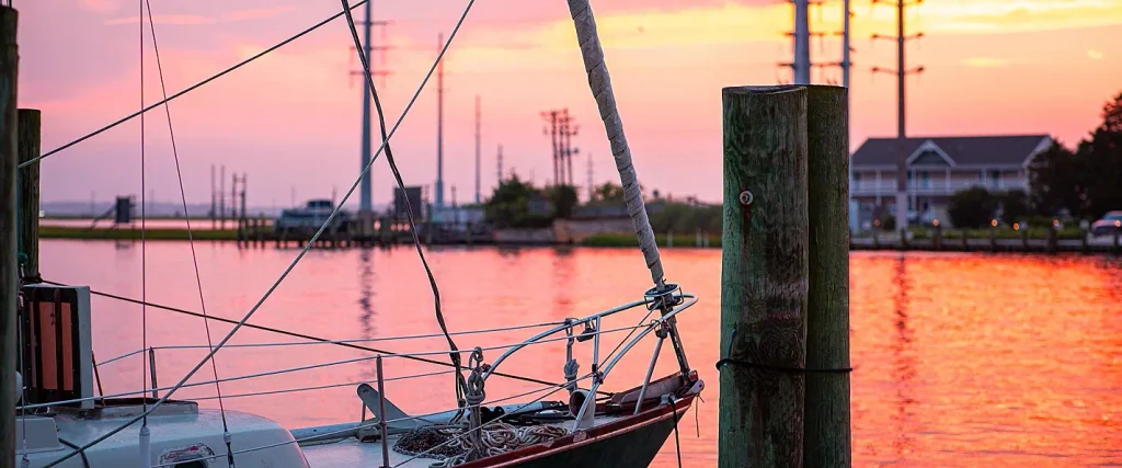
The water maintains a depth of two to four feet for hundreds of feet from the shore, making it ideal for wading families, kayakers, and those seeking to witness stunning sunsets. The sound sunsets here are unparalleled on the island, as the sun dips directly into the water without obstruction.
Beach Driving and Camping
Much of Hatteras Island is part of Cape Hatteras National Seashore, the country’s first national seashore, and there is no entrance fee. However, driving on the beach requires an off-road vehicle permit from the National Park Service, which rangers strictly enforce. A 10-day permit costs $50, while an annual permit is $120. Purchase your permit online via Recreation.gov before your arrival, and consult the park’s beach access page prior to driving.
For those wishing to camp on the island without renting a house, Oregon Inlet Campground is the optimal choice. It is the only seashore campground offering electric and water hookups. There are 107 sites, 47 of which include hookups, with standard sites costing approximately $28 per night. Reservations can be made up to six months in advance through Recreation.gov. Please note that effective January 1, 2027, the Park Service will be altering camping stay limits, so confirm the rules when booking for 2027.

The Southern End and the Ferry to Ocracoke
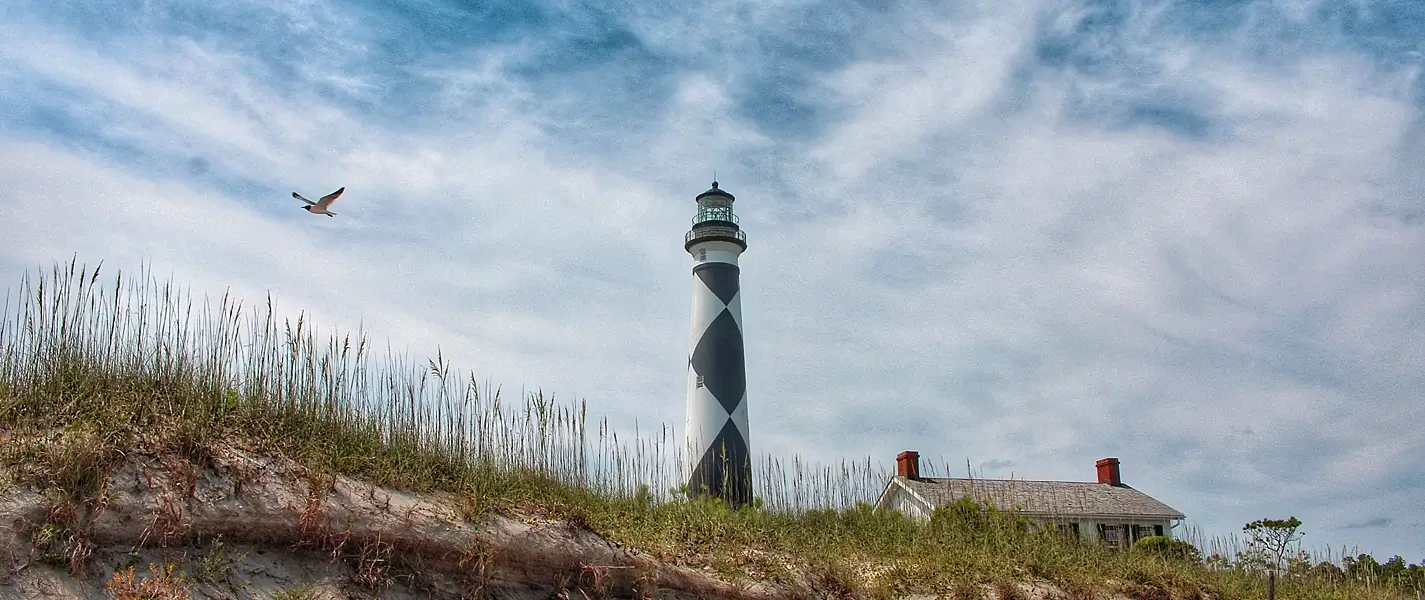
Continue driving south past Avon, and the island bends west at Buxton, home to the Cape Hatteras Lighthouse. As the country’s tallest brick lighthouse, its iconic black-and-white spiral symbolizes the entire Outer Banks. While the grounds are open, climbing has been temporarily suspended for restoration and is not expected to reopen until 2026. Therefore, please check with the Park Service before planning a 2027 climb. At the southern tip, Hatteras Village hosts the ferry dock to Ocracoke Island.
For decades, the Hatteras to Ocracoke vehicle ferry has offered free, first-come, first-served service across Pamlico Sound, taking approximately one hour. However, North Carolina’s 2026 budget law mandates a toll beginning January 1, 2027. Rates had not been set at the time of this guide’s publication, so please consult NCDOT before your trip. The seasonal Ocracoke Express passenger ferry operates only in the summer, with a $15 round-trip fare and no Sunday service. Reservations are recommended, as bookings open 90 days in advance.
Planning Your 2027 Hatteras Trip
Spring and fall offer ideal conditions on the island. The winds are perfect for kiteboarding and windsurfing, the water is sufficiently warm, and crowds are thinner. Summer brings peak activity, so if you plan to visit in July, book your accommodations several months ahead.
Consider basing yourself in the north for tranquil mornings, in Avon for convenient access to shops, or in the south for proximity to the lighthouse and ferry. Regardless of your chosen location, remember that the island relies on a single main road. Build flexibility into your schedule and check the ferry and park websites on the morning of your travel. Hatteras rewards those who are adaptable and can be frustrating for those in a hurry.
Save this guide and bookmark explorecarolinabeaches.com as you plan your 2027 trip. The island’s wild charm will await your arrival; that’s the essence of the experience.
Frequently Asked Questions
How long is Hatteras Island?
Hatteras Island stretches approximately 50 miles from Oregon Inlet to Hatteras Inlet. The drive typically takes about an hour without stops, though you’ll likely want to make a few.
What are the Tri-Villages?
The Tri-Villages: Rodanthe, Waves, and Salvo are three small, contiguous communities located on the northern end of the island. They were historically part of a single settlement known as Chicamacomico.
Do I need a permit to drive on the beach?
Yes, a permit is required. A 10-day permit costs $50, and an annual permit costs $120. Both are available through Recreation.gov. There is no entrance fee for the seashore itself.
Is the Hatteras to Ocracoke ferry truly free?
The ferry was free through 2026. A toll will be implemented starting January 1, 2027. Rates had not been determined at the time of this guide’s writing, so please check with NCDOT before your trip. The crossing takes approximately one hour.
Can I visit the Nights in Rodanthe house?
You can view the house from Beacon Road in Rodanthe. However, interior tours are not available unless you rent the property. The house was relocated inland in January 2010 to protect it from erosion.
For more Carolina vacation area guides and Carolina coastal travel inspiration, dive deeper into explorecarolinabeaches.com and our Festival Guides.
Planning a Carolina beach trip? Use our Beach Finder Quiz to get a personalized recommendation, or compare any two beaches side by side with the Carolina Beach Comparison Tool.
📱 Download our free Carolina Beaches app — Get it here