
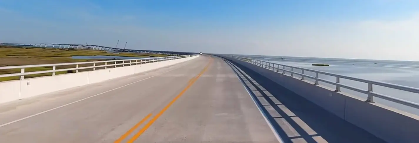
Some roads get you somewhere. NC Highway 12 gets you into something entirely different. This 148-mile ribbon of asphalt strings together the Outer Banks like pearls on a necklace, and honestly, no other American highway feels quite like it.
Drive it once, and you’ll understand why locals talk about “The Twelve” with genuine reverence. This isn’t a route. It’s a rite of passage.
The Route: From Corolla to Ocracoke
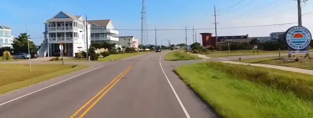
NC 12 starts up in Corolla, North Carolina’s northernmost beach town, and winds all the way down to Ocracoke Island. Along the way, it passes through Duck, Kitty Hawk, Kill Devil Hills, and Nags Head before crossing the Marc Basnight Bridge over Oregon Inlet.
From there, the road threads through Pea Island National Wildlife Refuge, then continues past Rodanthe, Waves, Salvo, Avon, Buxton, Frisco, and finally Hatteras Village. That entire stretch runs officially designated as part of the Outer Banks Scenic Byway, a National Scenic Byway recognized for good reason.
Insider detail:
The road actually splits into two distinct ferry-connected sections. Vehicles can’t drive the whole way continuously; the North Carolina Ferry System bridges the gaps at Hatteras Inlet and again at Ocracoke, making this as much a boat trip as a road trip.
Beaches Worth Stopping For
Every beach town along NC 12 has its own personality, and that variety is the whole appeal. Corolla offers wide, undeveloped sand backed by wild horses roaming just north of the paved road. Duck feels more boutique, with a walkable waterfront and quieter shoreline.
Further south, Rodanthe and Avon draw serious wind and kite surfers thanks to consistently strong Pamlico Sound breezes. Buxton’s beach sits practically in the shadow of Cape Hatteras Lighthouse, giving it arguably the most photogenic backdrop on the entire route.
Local’s take:
Skip the crowded Nags Head stretch during peak summer weekends. Locals often push further south toward Avon or Frisco instead, where the beaches stay wide, less crowded, and every bit as beautiful.
The Ferries: Where the Road Becomes Water
This is where NC 12 stops behaving like a normal highway. The Hatteras-Ocracoke ferry runs free of charge, carrying vehicles across Hatteras Inlet in about an hour. It’s one of the few free vehicle ferries left in the country, and reservations aren’t required for this particular crossing.
Beyond Ocracoke, travelers can continue toward the mainland via the Cedar Island or Swan Quarter ferries, both of which do charge fares and require advance reservations, especially during summer months. These longer crossings run roughly two to two-and-a-half hours each.
What most visitors don’t know:
Standing on the ferry deck as Hatteras Island shrinks behind you might be the single best photo opportunity on the entire drive. Skip your phone for a minute and just watch the water.
Sights That Make the Drive Legendary
NC 12 packs an absurd number of landmarks into a relatively short stretch of coastline. Wright Brothers National Memorial sits right in Kill Devil Hills, marking the exact spot where powered flight began in 1903. Just south, Jockey’s Ridge State Park protects the tallest natural dune system on the East Coast.
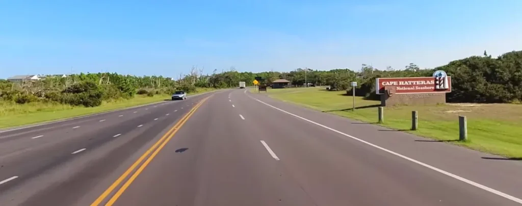
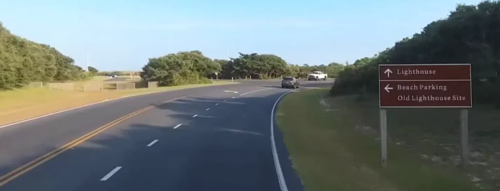
Cape Hatteras Lighthouse rises 198 feet above Buxton, standing as the tallest brick lighthouse in America. Engineers famously relocated the entire structure inland in 1999 to escape encroaching shoreline erosion, a feat that still impresses engineers today.
Ocracoke brings its own landmark lighthouse too, the oldest operating one in North Carolina. Just outside the village, wild Ocracoke ponies graze at a dedicated pen, descendants of horses believed to date back centuries on the island.
Insider detail:
Pea Island National Wildlife Refuge, sandwiched between Oregon Inlet and Rodanthe, hosts serious birdwatching opportunities most drivers speed right past. Pull off at one of the refuge’s marked overlooks, and you might spot herons, egrets, or migrating waterfowl depending on the season.
Events Worth Timing Your Trip Around
Timing your NC 12 drive around a local event adds an entirely different dimension to the trip. The Wright Kite Festival, held near the Wright Brothers Memorial, draws serious kite enthusiasts and casual families alike every summer.
Down in Ocracoke, the Ocrafolk Festival brings live music and local art to the island’s small-town streets each June. The island also hosts a quieter, deeply moving British Cemetery ceremony each May, honoring sailors from the HMT Bedfordshire lost during World War II.
Locals’ take:
Ocracoke’s slower pace makes even ordinary weekends feel like an event. Grab a drink at a waterfront spot near Silver Lake, and you’ll understand why so many visitors extend their stay by an extra night or two.
Highway 12 in late November is a different road: no summer traffic, empty pull-offs, and a rental house with a full kitchen waiting at the end of the drive. If you’re planning an Outer Banks holiday week, see our guide to a Carolina coast Thanksgiving for rental tips and what to book early.
Planning Your Drive the Smart Way
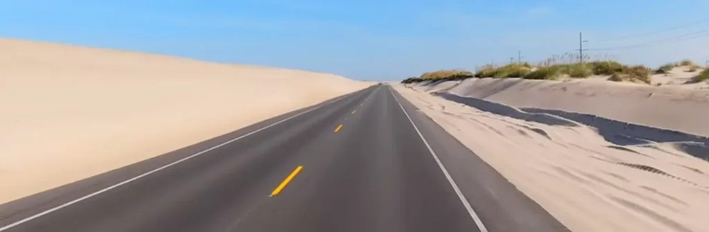
NC 12 demands a little flexibility, and that’s part of its charm. Storms occasionally breach dunes and temporarily close sections of the highway, particularly around Pea Island and the northern end of Ocracoke. NCDOT posts real-time updates, and checking conditions before you leave saves real headaches.
Give yourself at least two full days to drive the entire route properly, including ferry time. Rushing this road misses the point entirely. Fill up on gas before Hatteras Village, since options thin out significantly on Ocracoke.
What most visitors don’t know:
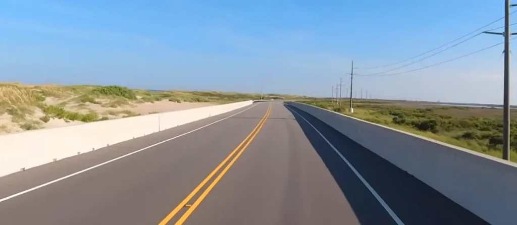
The famous Rodanthe “S-curves,” once notorious for chronic flooding and closures, got bypassed entirely in 2022 by a new bridge running offshore over Pamlico Sound. It’s a smoother ride now, though older maps and GPS apps sometimes still route drivers through the old road.
Why This Drive Deserves Bucket-List Status
Few American highways combine this much natural beauty, history, and sheer unpredictability into one continuous route. You’re driving alongside wild horses one hour, boarding a free ferry the next, then standing beneath America’s tallest lighthouse before lunch.
NC 12 isn’t just scenic. It’s a genuine adventure that rewards patience, curiosity, and a willingness to let the ferry schedule dictate your day. That’s precisely what earns it a spot on any serious traveler’s must-do list.
Pea Island isn’t just a scenic stop on the NC-12 drive; it’s one of the best birding destinations on the entire Atlantic coast every fall. If you’re road-tripping Highway 12 in October, build in extra time here. See our full fall birding guide to the Carolina coast for exactly when to go and what to look for.
Frequently Asked Questions
How long is NC Highway 12?
The highway runs approximately 148 miles, connecting Corolla in the north to Ocracoke Island in the south.
Do I need a reservation for the Hatteras-Ocracoke ferry?
No, that particular crossing is free and typically doesn’t require reservations, though summer wait times can still be long.
Is NC 12 ever closed?
Yes, storms occasionally cause dune breaches and temporary closures, particularly near Pea Island and northern Ocracoke. Check NCDOT’s real-time updates before traveling.
What’s the best time of year to drive NC 12?
Late spring and early fall offer fewer crowds and milder weather, though summer brings the fullest event calendar.
Can I drive NC 12 in one day?
Technically yes, but most travelers recommend at least two days to properly enjoy the beaches, landmarks, and ferry crossings without rushing.
Some roads take you on vacation. NC Highway 12 takes you somewhere you’ll never quite stop thinking about, proof that the Carolina coast still holds a few genuine adventures.
For more travel guides, beach recommendations, and coastal travel inspiration, keep exploring explorecarolinabeaches.com
Planning a Carolina beach trip? Use our Beach Finder Quiz to get a personalized recommendation, or compare any two beaches side by side with the Carolina Beach Comparison Tool.
📱 Download our free Carolina Beaches app — Get it here